
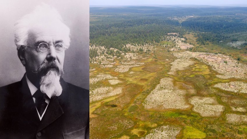
Today, a major research project is being carried out in the Komi Republic, within the Timan-Pechora oil and gas province: the drilling of ultra-deep wells with a planned bottom-hole depth of at least 2,000 metres below the Devonian deposits. The project was initiated by Empress Catherine II Saint Petersburg Mining University. Its objective is to study thermodynamic processes in the Earth’s crust beneath the Devonian deposits.
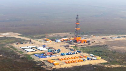
The region was chosen for a reason.
More than 130 years ago, as part of the Geological Committee’s broader effort to study the geological structure of Russia and compile a geological map of the country, an expedition arrived in Timan under the leadership of a talented graduate of Empress Catherine II Mining Institute.
Despite his relatively young age, Feodosy Chernyshev, who had only recently entered his thirties at the time, had already established himself as a prominent scientist. His work was cited not only in Russia but also beyond the borders of the Empire. The Devonian and Lower Devonian deposits were a key focus of his research.
In particular, the geologist developed a stratigraphic scheme of the Paleozoic deposits of the Urals, based on the findings of almost a decade of expeditions. Drawing on extensive empirical data, he demonstrated the composition and sequence of the deposits forming the mountains and foothills of the region. His conclusions, which contradicted previously accepted principles of regional stratigraphy, as well as his research methods, were of exceptional importance for understanding the structure of the Earth and could be applied to other poorly studied regions. This is precisely what was done during the expedition to Timan.
In 1887, Arkhangelsk Governor Nikolai Golitsyn published a memorandum on the region’s difficult economic situation and appealed to the Minister of Agriculture and State Property for assistance in the geological study of the Pechora region. Without such research, he argued, it would be impossible to begin developing the “gifts of nature hidden in the depths,” which until then had remained “completely dead capital for the region and the state.” The appeal was referred to the Geological Committee and prompted Chernyshev to initiate a two-year expedition to the Pechora region, for which he immediately received approval from the Mining Department.
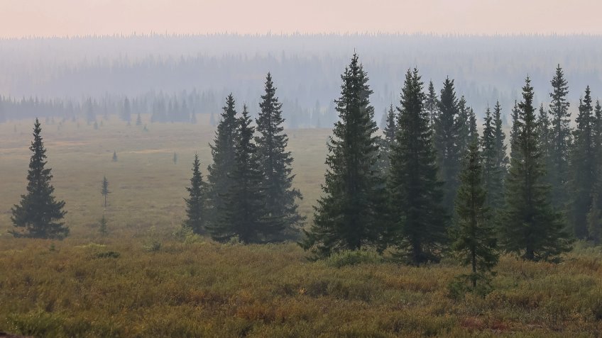
Drawing on analogies between the geological structure of the European North and the Urals, he predicted a high probability of significant mineral wealth in the Russian North:
«Unfortunately, Russians are the least aware of the practical importance of our North; foreigners, meanwhile, are increasingly and persistently making their way there, studying in detail the economic and industrial significance of Russia’s northern regions... Our North, with its riches, is like a legendary hero waiting for a traveller with the water of life to awaken in all its strength and significance; it would be sad if this long-awaited traveller came from German lands rather than Slavic ones».
Over the course of the 1889–1890 field seasons, the entire Timan Ridge was studied. The expedition covered at least 10,000 kilometres of survey routes and documented the geological structure of an area exceeding 100,000 square kilometres, making it one of the largest geographical and geological undertakings in Russia in the late nineteenth century.
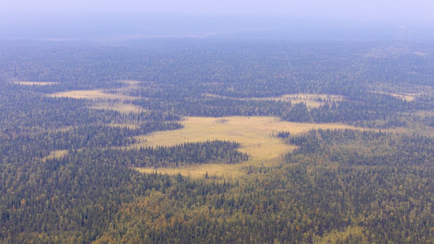
The fieldwork almost became the last expedition for Feodosy Nikolayevich. The journey took place under extremely difficult conditions: the funding allocated by the Geological Committee was very modest, requiring the expedition members to be highly economical and resourceful. They travelled on foot and by boat along small rivers with numerous rapids, waterfalls, and blockages. Boats had to be dragged overland, while supplies were carried on their backs as the expedition members cut paths through virgin forests and struggled through waterlogged peat bogs. They did not use tents, preferring to spend nights under the open sky, wrapped in a felt blanket, so as to avoid carrying any unnecessary weight. Their backpacks were packed with collections of rock and mineral samples. At times, when their meagre food supplies ran out, they survived for weeks on cloudberries alone. Swarms of mosquitoes forced the young geologist to take up smoking. Yet nothing could stop him.
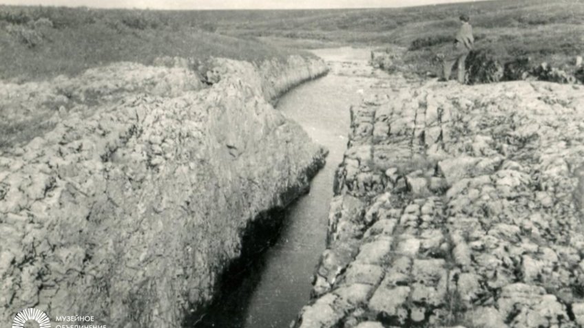
Feodosy Nikolayevich played a key role in the study of the Ukhta oil-bearing region, which forms part of the Timan-Pechora oil and gas basin.
Together with his team, he surveyed oil seeps along the surface of an anticline composed of Upper Devonian sandstone and marl deposits and carried out exploration using shallow boreholes and pits. In August 1889, oil began flowing continuously from one of the wells drilled on the Chut River, a tributary of the Ukhta, at a depth of 12 metres. Chernyshev’s discovery and description of the oil deposits in the Ukhta region marked the beginning of their further study and industrial exploration.
But most importantly, the scientist compiled the first accurate and detailed geological map of Timan, incorporating maps of tectonic development, the principal horizons, and the stratigraphy of the Arctic coast. The geologist concluded that some of the areas he had identified were promising for industrial exploration, but emphasized that deeper exploration would be required to accurately assess the reserves.
«I am, of course, far from considering the question of the practical potential of the oil-bearing region we have studied to be exhausted. I believe that our objective will have been fully achieved if the data we have obtained serve as a useful guide for the future. In any case, should industrial forces be directed to this region, more extensive exploration will be required to determine the extent of its oil reserves», - the geologist wrote in his report.
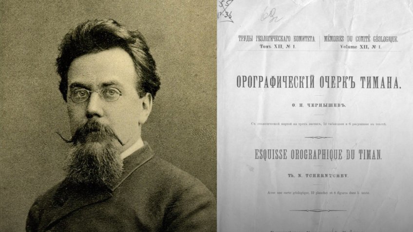
The scientist’s words proved prophetic. Today, the Timan-Pechora oil and gas basin is one of Russia’s key oil and gas regions. More than 200 oil fields have been identified here. Among the largest are the Usinskoye, Vozeyskoye, and Yaregskoye fields. However, the basin’s resource potential is far from exhausted.
Its petroleum potential extends across a broad stratigraphic range, from the Riphean to the Triassic — an enormous interval in the geological history of the Earth spanning approximately 600 million years. The basin’s fault tectonics played a key role in the formation of traps, the distribution of reservoir rocks and seals, and the reformation of hydrocarbon accumulations. Despite extensive development of the territory, a significant proportion of its oil reserves is classified as hard-to-recover and requires specialized technologies.
The Chernyshev Ridge, named after Feodosy Nikolayevich, who studied the area, and forming part of the Timan-Pechora oil and gas basin, is of particular strategic interest for geological exploration.
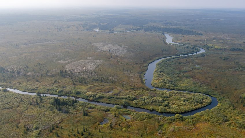
Its prospects are attributable to the tectonic processes and conditions governing the formation of hydrocarbon accumulations. The complex fold-and-thrust structure of the ridge creates distinctive traps for hydrocarbons. Its geological section contains oil- and gas-source strata with significant generative potential, associated with the Upper Silurian–Lower Devonian and Middle Frasnian–Lower Famennian deposits. Commercial oil-bearing capacity has been established in some individual structures.
The Chernyshev Ridge comprises three areas — East Vorgamusyursky, Adaksky, and Povarnitsky — where Empress Catherine II Saint Petersburg Mining University is currently conducting field studies and drilling operations.
As for Feodosy Chernyshev, the Timan expedition became a crucial milestone in his scientific career. It not only produced specific practical results but also significantly strengthened his reputation as one of Russia’s leading geologists and paleontologists.
He subsequently conducted extensive research in the Arctic, on Spitsbergen and Novaya Zemlya, led a major expedition into the heart of Central Asia, to Kashgar, explored the gorges of the Caucasus, and climbed the heights of Mount Elbrus. For several years, he headed geological surveying efforts in the Donets Basin. Each time, he selected outstanding assistants, worked tirelessly himself, and as a result, even a relatively narrow assignment grew into a major scientific undertaking in its respective field.
The scientist achieved international recognition with his two-volume monograph on the Upper Carboniferous brachiopods of the Urals and Timan, published in 1902. Its stratigraphic section was translated by British geologists and published in the proceedings of the Geological Survey of India, making Chernyshev’s name even more widely known. The work established him as an undisputed leading specialist in the Upper Paleozoic on a global scale.
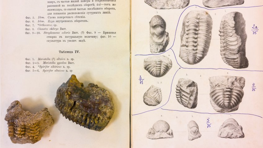
Chernyshev’s works were cited by geologists not only throughout Western Europe, but also by researchers in the United States, China, and Australia. As an invited expert and consultant, he worked in Austria, Bohemia, Germany, France, Canada, and Mexico, and was a regular participant in international geological congresses.
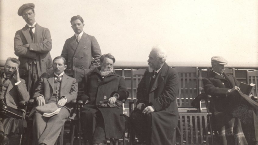
In his homeland, the scientist was elected a full member of the Imperial Academy of Sciences and headed the Mining Institute, the Geological Committee, and the Geological Museum of the Imperial Academy of Sciences.
Contemporaries said: «To provide even a brief account of Chernyshev’s work would be to write the history of the development of geological knowledge in Russia over the past 30 years».
In 1914, the outstanding mining engineer passed away. The Central Research Geological Exploration Museum, several individual mountains, a ridge, two islands and a peninsula, a glacier, a bay, as well as ancient fossil organisms were named after him.
On September 12, 2026, the 170th anniversary of Feodosy Chernyshev’s birth will be commemorated.